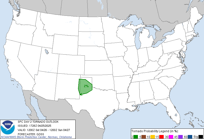
Nothing looking like it's going to be too major, but could see a very low end event tomorrow and low end event Tuesday. Tomorrow barely even looks worth mentioning but a severe storm may pop up. Tuesday could see a few more severe storms with the main threats being straight line winds to 70mph and perhaps an isolated tornado. Main threat area Tuesday is north of I-20. Also some grumblings of another low end event for Thursday but looks very minor if it happens. What will happen all week is rain. It's going to rain. Then it's going to rain some more. Then, just to change things up, it's going to rain even more. By the time Friday morning rolls around the northern half of the state could see widespread 3-4" totals with isolated spots seeing 6".
Severe threats this week.
- Thread starter Hugh's Burner Phone
- Start date
You are using an out of date browser. It may not display this or other websites correctly.
You should upgrade or use an alternative browser.
You should upgrade or use an alternative browser.
Rain is going to be the worst thing about this system. You're right about the severe. I think that the moisture and heat may be missing in this early season Storm. If it was April it would be rough.
The weather nerds are spilt on it being a stormy spring but they agree temps will be normal or just above normal.
The weather nerds are spilt on it being a stormy spring but they agree temps will be normal or just above normal.
Tomorrow evening may be a bit more interesting. The HRRR (Hi Resolution Rapid Refresh) model has been developing discrete supecells over eastern MS and western AL late tomorrow afternoon (5:00pm). Wind shear and instability will be favorable for this development and a strengthening low level jet over the area also favors discrete cell developement. However, most of the other models are also showing a very strong cap in place and if that happens the storms will probably not be able to bust through it. If they do, though, then they will pose a very definite tornado and wind threat. Right now the HRRR looks to be standing alone on this hill, but it is also typically pretty reliable. Just remains to be seen how it all plays out.
It's hard to forecast winter tornadoes because of the limitations of good heat and moisture
SPC has updated their outlook for tomorrow and now mentioning this supercell threat for tomorrow so this may be something that needs to be kept an eye on. If this trend continues and gains some steam I could see an upgrade to enhanced for tomororw evening.
Here is the SPC text regarding tomorrow:
The remaining severe threat will likely focus farther south across
the lower MS Valley and into AL by the early evening. The northern
extent of more appreciable low-level moisture (surface dewpoints in
the 64-66 deg F range) will aid in the development of weak buoyancy
(500-1000 J/kg MLCAPE) from central MS northeastward into
northwest/far western AL. The latest forecast thinking is a
mesoscale corridor for supercells may be favored from the northern
part of central MS northeastward into northwest AL during the
evening and early overnight. The aforementioned low-level moisture
coupled with 300 ms/s2 0-1km SRH and favorably curved, long
hodographs support a risk for tornadoes with any supercells that
manage to develop.

Latest posts
-
MORAL VICTORY UNIVERSITY!!!
- Latest: Howiefeltersnstch
-
Dawgs squared game thread
- Latest: El Perro Grande
-
-
-
Get unlimited access today.